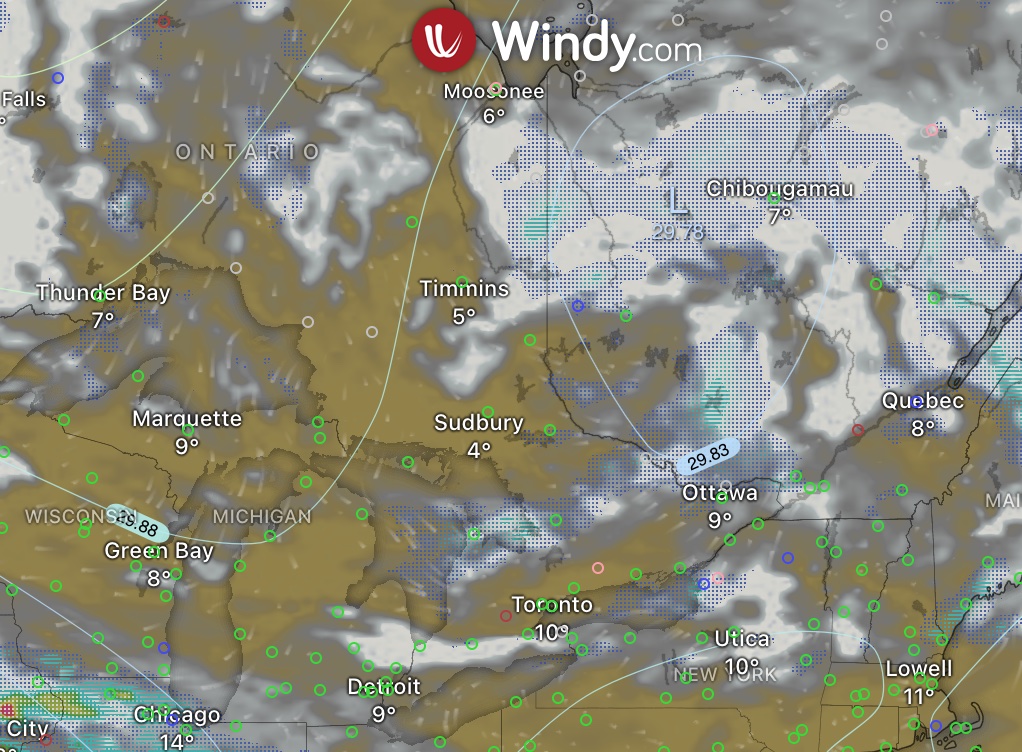
Using Windy For Flight Planning
Below are links to the hour webinar on how to use Windy (windy.com) to help with both local and cross country flying.
Specific focus will be on VFR flying. Topics to include are:
- What are weather models and their limitations. Which one should you use for flight planning?
- Useful data layers to help with flight planning (cloud bases, fronts, winds aloft, icing, visibility).
- Predicting turbulence due to daytime heating (for those local/sightseeing flights).
- Climate change and how to predict flight conditions in smoke due to forest fires.
- How to use Windy’s route/trip planner to get a profile view of the weather you might encounter.
- How to use both real time data (satellite and weather radar) and forecast data.
- Using windy as a supplement to already available weather data from NavCanada/Environment Canada & NOAA/FAA.
Some reviews by attendees:
As someone who struggled with weather the most during my PPL, this certainly gives me a great tool to use to both plan for flights as well as follow weather and try to understand it better. Thanks!!
I have used Windy for a while, but did not know about the flight planning feature. Thanks for the introduction, I will definitely use it moving forward.
Feel free to download a copy of the slides, or view the presentation on YouTube.