NAD83 versus WGS84, Understanding NavCanada’s AIC 005/2025
Here is AIC 005/2025 for reference.
When trying to chart a three dimensional sphere (the earth) on a two dimensional piece of paper. You need two things:
- A map projection to use (Mercator, Azimuthal Equidistant, Orthographic, etc..)
- A coordinate system to reference points on this projection (ETRF, NAD83, WGS84).
NavCanada already used the ICAO standard of Lambert Conformal Conic (LCC) projections for all of its charts.
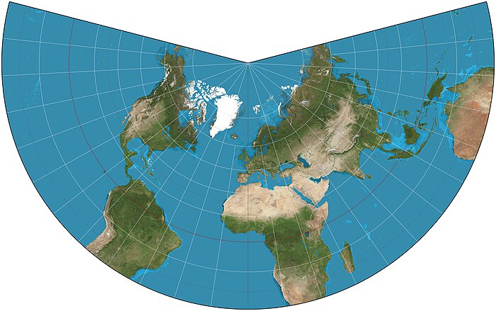
Pilots use aeronautical charts based on LCC because a straight line drawn on a Lambert conformal conic projection approximates a great-circle route between endpoints for typical flight distances. A great circle route is the shortest route between two points on a sphere (the Earth).
However, starting April 17, 2025 the coordinate system used on these charts will change from NAD83 to WGS-84. Here’s why:
The NAD83 standard “locks” points to the surface. This means that the coordinates for Pearson Airport (CYYZ) for example will never change, even though the continent is slowly drifting due to continental drift. This means that the coordinates for the airport will always be 43.677128, -79.633453 regardless of the actual location of the airport on the surface of the earth.
However, over time as continental drift moves this point, the actual location as seen by GPS satellites changes. Since pilots and aircraft use GPS as the main source of navigation flying to this point using GPS can be as much as 1-2 meters out of sync. Sure, not a lot, but this error will only increase with time and at locations where continental drift may be faster.
This means that when you put in the coordinates for YYZ airport as depicted on NavCanada charts (43.677128, -79.633453) your GPS will technically take you someplace else (albeit only 2 m away).
After the April deadline, NavCanada charts will have the positions of of navaaids and geographic features skewed appropriately with the continental drift. However, because we are doing this now and the level of precision on the charts is less than the drift error. No changes in coordinates will actually be made during this transition period.
In other words, this is more of an FYI for the chart nerds out there and no actual action is required on the parts of pilots and navigators.