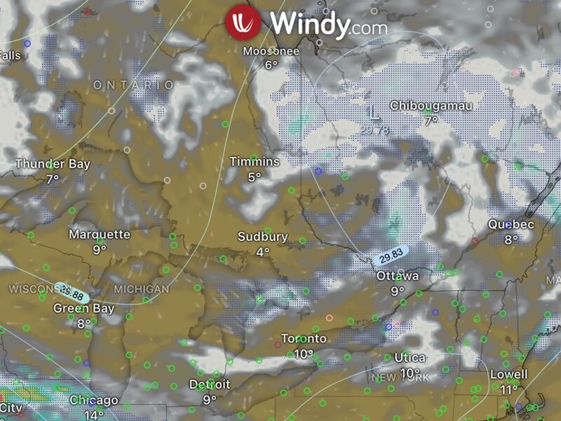
My flight on the weekend was canceled because of low ceilings. We need at least 4000′ but were only getting around 3000′ crappy.
My FI is going to see if I can come in during the week instead of just the weekends. I have no issues flying at 7am if it means I get in the air. Only problem is, FI is booked every morning during the week for the next month or so.
In the mean time I’ve been slowly studying for the commercial written and getting my checklists for the Seminole in order. The ones provided by the school are hard to read due to being a 50th generation photocopy. I’ll see if they will accept my cleaned up version next time I’m in.
I noticed a new piece of equipment on the field as I was driving down the highway the other day. It looks like a weather station. However, from what I can gather, it seems to be only recording wind speed and direction as I don’t see any other equipment located there. You can find it on the south west quadrant of the field somewhere between taxiway alpha and runway 03.
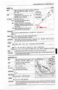
I have a question about some information found in the CFS:
Take a look at an airport in the northern domestic airspace. The airport diagram shows the runway numbers, along with another notation. I’ve pointed it out in in a scan of the Alert aerodrome.

What does that notation mean? I’m not familiar with the “°G” indication.


Two clues let you answer the “110G” question. First, note the magnetic variation: 60ish degrees. Runway 05 + 60 degrees = 110 degrees. Second, note the mention “grid” farther down in the comments. This is a reference to the military grid mapping/projection scheme. So 110G must be 110 degrees east of the “grid north”.
Ahhh.. that makes perfect sense. I totally forgot that the military also uses the CFS. And this *is* a military aerodrome.
Thanks :)
Alert is pretty darn close to the top of the world, 82oNorth. They probably are so close they can’t use magnetic north, as normal airports do, or true north, as northern airports due, so they go with grid.